
Summer and fall can feel like the most inviting seasons in the mountains, but backcountry travel remains highly dynamic. Monsoon storms build quickly, trails dry out or wash away, creek crossings fluctuate and a single route can shift from hot, exposed terrain to snow at higher elevations.
In the Rockies, where steep terrain and spotty cell service are the norm, preparation and adaptability are often what separate smooth days from complicated ones.
Digital mapping tools have become part of that preparation, working alongside traditional skills like backcountry education, weather awareness and route-finding. Andy Sovick, product manager of content for onX Maps and founder of Beacon Guidebooks, sees mapping technology as a way to support better decisions when plans inevitably change. Here he discusses the GPS navigation app, onX Backcountry, which I’ve tested but only skimmed the depth of its capabilities.
“Your map shouldn’t disappear when your plan does, and that’s why onX Backcountry is focused on giving our users clarity when it counts,” he says. “Through specifically tailored tools and offline features like 3D mapping, custom route-building and terrain assessment, we’re empowering folks to make smarter decisions in the backcountry even when they don’t have cell service.”
Backcountry recreation in Colorado spans multiple seasons and sports. Summer and fall trail running, mountain biking and alpine hiking transition to winter activities like ski touring and snowshoeing. Understanding terrain year-round is increasingly important.
“Tons of our users — and I think it’s safe to say tons of folks who get out in the backcountry — engage in multiple activities like hiking, mountain biking, ski touring and climbing,” Sovick explains. “We make it easy by giving users content and tools for all of their pursuits in one place, empowering folks to both plan and navigate in the field.”
For users, that means treating the landscape as dynamic rather than static — conditions, hazards and access points change, even when the route stays the same.
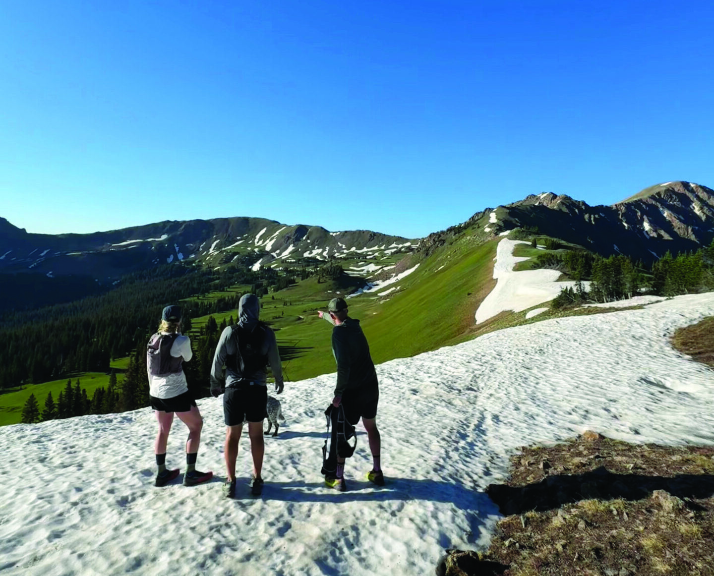
Terrain, Access + Exposure
The high country of Colorado offers dramatic terrain paired with limited connectivity. Knowing where you are is only part of the equation; knowing what’s around and below you matters just as much.
“Having downloadable maps (topo, satellite and 3D) for offline use is probably top of the list for me since it doesn’t take much to lose cell service here,” says Sovick, who is based in Gunnison. “It’s pretty handy to toggle the ‘cellular service layers’ on to check and see whether or not I’ll lose service.”
Land ownership is another practical concern. “Our layers for public and private land boundaries continue to be one of the most relevant and critical functions,” he says, noting how quickly access issues can complicate otherwise straightforward outings.
Understanding exposure is equally critical in steep terrain. Knowing slope angle, aspect, elevation gain, drainage patterns and land status can all shape safer, smoother decisions in the field. Tools that help users visualize terrain in real time add a crucial layer of awareness beyond simply knowing where they are.
Summer and fall also bring fast-changing trail conditions. Recent satellite imagery can help users check snow patches, vegetation, burn scars, water levels and overall access conditions before heading out. Real-time precipitation radar can also help anticipate muddy trails, lightning risk or incoming storms.
Experience doesn’t eliminate uncertainty in the mountains, and proper preparation can make all the difference.
“Sometimes, the thing that saves your bacon is a feature as simple as our ‘Tracker’ that leaves a breadcrumb trail in case you need to find your way back,” Sovick says.
“I’ve been playing in the backcountry, quite obsessively, for my whole life, and I’d like to think I know the Elk Mountains extremely well,” he notes. “However, what I’ve learned above all else over the decades is that the mountains don’t care how experienced or smart I am.”
The takeaway is simple yet crucial: Even on days expected to be tame, bring the tools that give you a leg up and increase your margins of safety. In the mountains, when conditions are in constant transition, that extra margin can save the day.
